
Haverstraw ZIP Coverage
The Town of Haverstraw is larger than the postal place called Haverstraw. Rockland County's 2026 reference guide identifies five confirmed ZIP codes that serve areas in the Town. They cover the Village of Haverstraw, West Haverstraw, Garnerville, Thiells, and the Haverstraw portion of Pomona. The ZIP code directory below keeps the confirmed group separate from nearby codes that have not been verified for a standard Town address.
| ZIP code | Town-serving area | Post office | Record note |
|---|---|---|---|
| 10923 | Garnerville and unincorporated west-town addresses, including Town Hall area | Garnerville Post Office, 55 Ramapo Road | Garnerville is a postal place, not a substitute for the Town municipality. |
| 10927 | Village of Haverstraw and addresses using Haverstraw as the postal city | Haverstraw Post Office, 86 Main Street | The village lies in the Town, but the postal city does not set a boundary. |
| 10970 | Pomona addresses in the Town of Haverstraw portion | Pomona Post Office, Route 202 | Pomona crosses the Haverstraw and Ramapo town line. |
| 10984 | Thiells and northwestern Town addresses | Thiells Post Office, 177 Thiells Mt. Ivy Road | Use the parcel record to confirm the municipal keeper. |
| 10993 | Village of West Haverstraw | West Haverstraw Post Office, 101 South Route 9W | West Haverstraw is a village within the Town. |
| 10956 | New City, unconfirmed for a standard Town parcel | New City | Do not treat as Town-serving without an address-level USPS and GIS check. |
| 10980 | Stony Point, unconfirmed for a Town parcel | Stony Point | Nearby boundary tables are not sufficient evidence of Town coverage. |
10956 and 10980 are intentionally shown as unconfirmed. Official sources did not establish that either is a normal postal label for a Town of Haverstraw parcel. A broad county dataset can include nearby ZIPs, so an address-level delivery result and the parcel's municipality must decide the question.
Haverstraw Postal Boundaries
Postal geography and municipal geography answer different questions. A 10970 mailing label can point to Pomona, but Pomona is divided between the Towns of Haverstraw and Ramapo. A 10993 label can say West Haverstraw even though the village is inside the Town. Likewise, 10923 uses Garnerville while the Town Hall is a Haverstraw government office. The mailing label helps route mail; it does not choose an assessor, clerk, or parcel record.
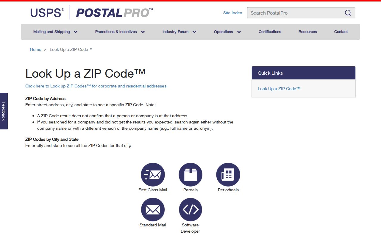
The official USPS ZIP Code Lookup has two distinct modes. Address, city, and state returns the delivery ZIP for one specific address after standardization. City and state returns the ZIP codes associated with a postal city. The second mode is a place search, not proof that every result belongs to the Town of Haverstraw.
The USPS lookup screen documents those two paths and warns that a ZIP result does not identify a person or organization at the address.
Use the returned standardized address as a mailing check, then compare it with the parcel's SBL and municipal layer. That sequence prevents a Haverstraw ZIP code directory search from turning a postal label into a property conclusion.
Haverstraw ZIP Search Fields
Only some official tools accept ZIP as a field, and each uses it for a different record type. Town PROS does not show a ZIP field in its visible quick form, and the Town BAS tax search uses bill, tax map, property address, owner name, and collection year instead. Rockland GIS begins with an address or Tax ID. ZIP becomes useful after the postal address has been checked, not as a replacement for the street address or SBL.
| Official source | ZIP-capable field | Other needed fields | What the result means |
|---|---|---|---|
| USPS lookup | Address-to-ZIP or city/state-to-ZIPs | Street address for a definitive delivery result | Postal standardization, not identity proof |
| NYS Voter Lookup | ZIP as optional or alternate narrowing | County, last name, first name, date of birth, and address information | Registered-voter verification and poll-site information for a matching voter |
| NYS licensee search | ZIP text field | Name, license type, county, or city as applicable | License record location information, not a household list |
| NYS Health Profiles | City and ZIP search | Provider, facility, or map search terms | Facility and profile information |
The NYS Health Profiles source includes provider or facility, map, city, and ZIP search options.
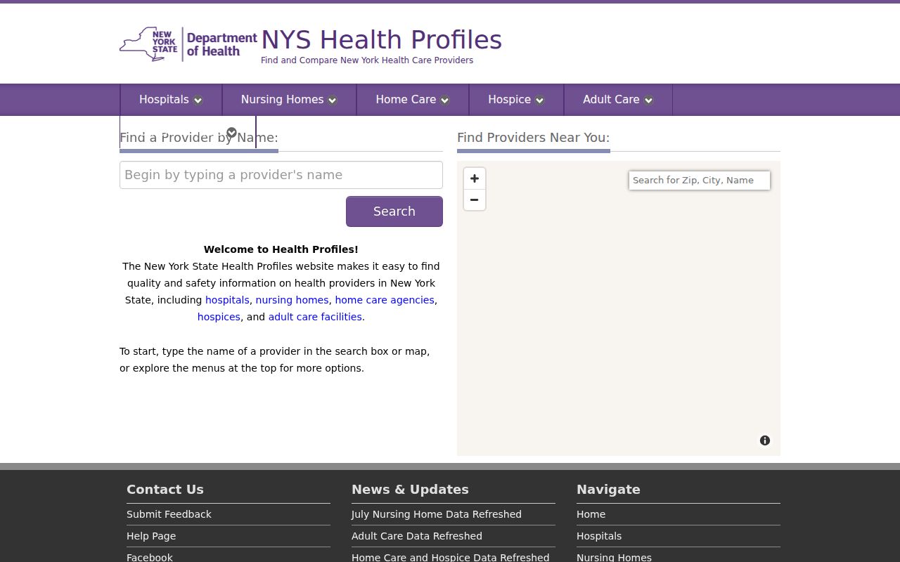
Its ZIP field groups service locations and profiles. It should remain separate from parcel, voter, and postal records because those systems do not share one common resident identifier.
Find Haverstraw ZIP Records
A ZIP-first search works best as a narrow candidate set. Start with the street address, not a person's name. The proper sequence ties the postal result to the parcel and then selects the correct municipal source. This is especially important where a village, a postal place, and the Town have similar names but different record keepers.
- Enter the complete delivery address in USPS address-to-ZIP mode and save the standardized five-digit ZIP. Retain ZIP+4 only when a source needs delivery precision.
- Search the address or Tax ID in Rockland GIS. Turn on tax-parcel and municipal-boundary layers to identify the parcel and its government jurisdiction.
- Use the address or SBL in the relevant Town or Village assessment system. PROS and BAS are address, owner, tax-map, or bill searches rather than ZIP directories.
- Use a statewide ZIP field only for its stated dataset, such as a license or a voter verification search. Do not merge results as though the ZIP identifies one person.
Once the street has been narrowed, the Haverstraw street directory follows the address, SBL, GIS, and deed path in more detail. The stable property bridge is the street address, SBL, and legal description, not the mailing ZIP alone.
The eAccessNY license search is one example of a different statewide record system: it returns license-related practice location and status details rather than a municipal parcel result.
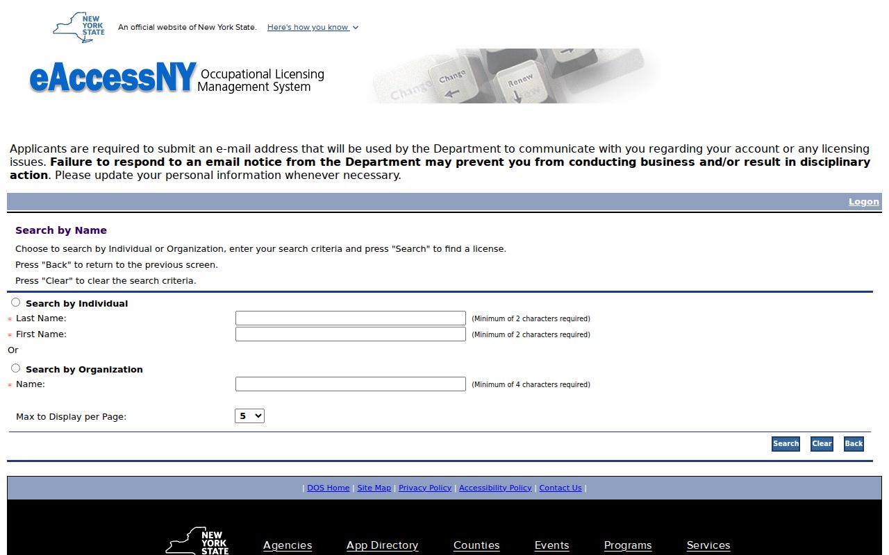
That difference is useful when interpreting a ZIP search. A matching ZIP can describe a stated practice location or mailing location, so it cannot establish who is at a Haverstraw address.
Haverstraw ZIP Proof Limits
A ZIP match is not proof that a person is associated with a particular address. USPS says its lookup result does not confirm a person or company there. The Town assessment roll can name a current owner and show the tax-bill mailing address, yet that mailing address may be a post office box, an attorney or business address, another property, or another state. The parcel's situs is the physical location, while the mailing address is where tax notices go.
For a careful ZIP code directory entry, state exactly what the source supports: postal delivery label, parcel owner, tax mailing contact, registered-voter result, or license location. A missing result is also limited. It can reflect a changed address, a different village system, a spelling variation, or a record's own search conditions. It does not prove a person was absent from Haverstraw.
ZIP check. Match USPS delivery information to the address, then use GIS and the assessment record to identify the parcel and municipality.
Haverstraw Municipal ZIP Split
Town records are divided among the Town of Haverstraw, the Village of Haverstraw, the Village of West Haverstraw, and the Haverstraw portion of Pomona. A postal city can conceal that division. Village parcels have a separate assessor and annual roll PDFs, while the Town PROS property search covers Town records. The Village of Haverstraw assessor page provides roll links rather than a live owner-search database.
Rockland GIS is the practical boundary check. It supports address and Tax ID searches and supplies tax-parcel, municipal-boundary, road, and district layers. The county describes the map as a discovery resource and gives no warranty that it is a survey, title record, or verified owner source. Use it to identify the parcel, then confirm the owner or record keeper in the assessment roll or County Clerk record.
Note: the county reported a GIS maintenance window in 2026, so a temporary map failure should be retried or checked against the assessor SBL route.
Haverstraw ZIP Definitions
Postal terms are useful only when their scope is clear. The definitions below keep a delivery label from being confused with a parcel, a town boundary, or a proof of identity.
- ZIP code
- A five-digit postal routing code assigned to a delivery area or postal place. It is not a municipal boundary.
- ZIP+4
- The five-digit ZIP followed by four more digits that refine delivery sorting for a smaller segment. USPS returns it when available for a specific address.
- PO box ZIP
- A ZIP used for post office box delivery. It does not establish the physical location of a parcel.
- Unique ZIP
- A ZIP assigned to a single large organization or institution. No verified Haverstraw example was located, so none is assumed here.
- Carrier route
- A postal delivery sequence used for mail distribution. It is a delivery concept, not a legal property boundary.
Historic Haverstraw Postal Labels
Modern ZIP codes are a crosswalk for an older address, not part of the original historical record. Haverstraw telephone books from 1884 through 1890 and the 1890-91 railroad directory predate ZIP codes. A historical entry should be located through its printed village, station, street, house number, and spelling before adding a modern postal label.
Names also shift across the record trail. The Village was incorporated as Warren in 1854 and renamed Haverstraw in 1874. Older records can use Warren, Haverstraw, West Haverstraw, Garnerville, Thiells, Pomona, or a station name. Preserve the form printed in the directory and use the address and SBL to connect it to a current parcel when possible. No official Haverstraw ZIP realignment history was located, so no boundary-change year is claimed.